Looking to gain a better perspective for an upcoming construction project? SITECH Horizon Professional Services is proud to staff one of the industry’s most experienced teams of experts in productivity and workflow analysis. Our Professional Services team provides construction technology services like 3D modeling, quantity takeoffs, drone flights, pre-construction layouts, surveying, and training opportunities. You'll gain access to a licensed and experienced engineer and licensed land surveyor to ensure you have the tools and knowledge you need to remain successful. Contact us to learn more about how SITECH Horizon can help you gather the critical information you need for your next project.
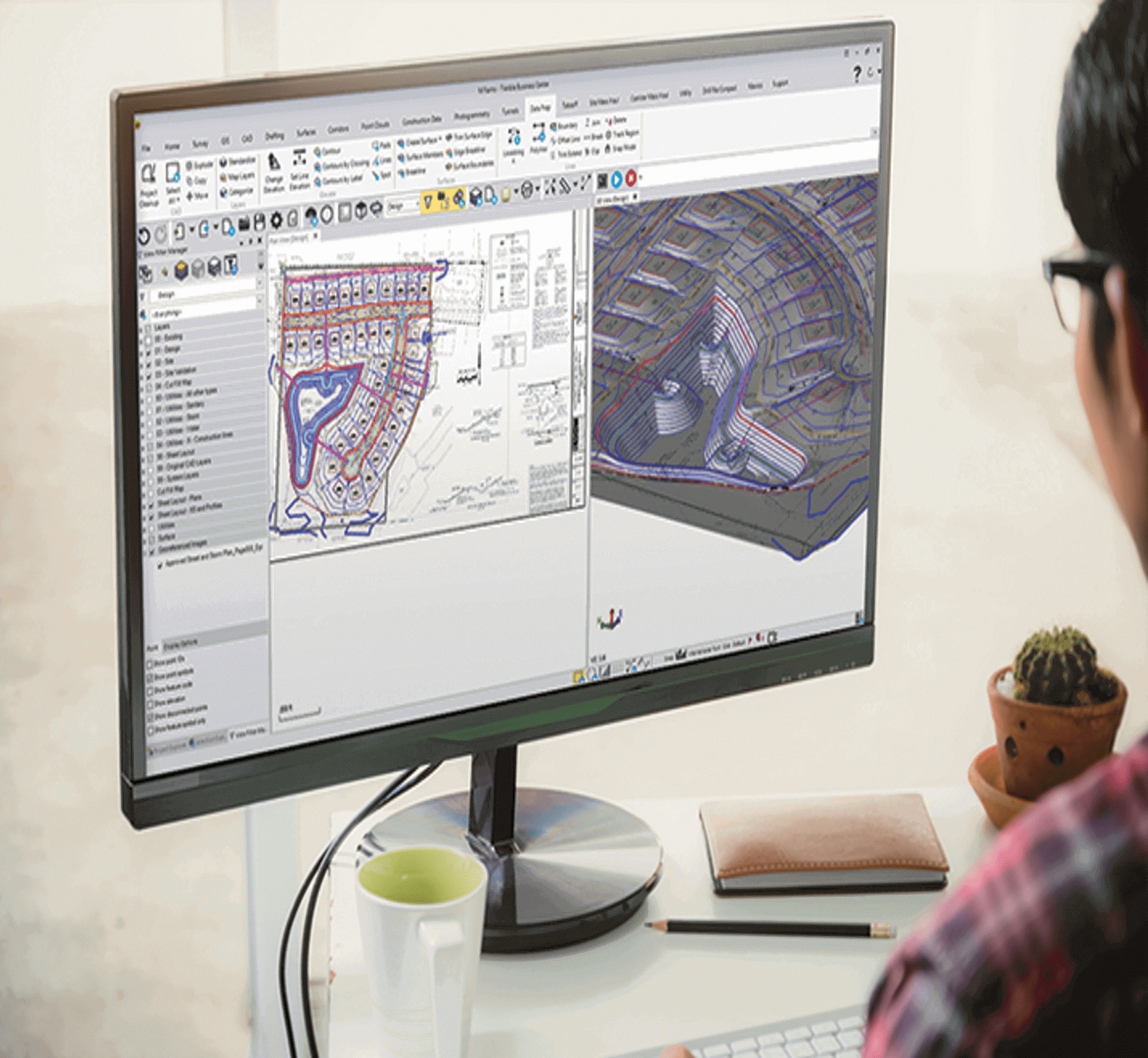
3D Modeling & Takeoff
SITECH Horizon is happy to offer 3D modeling services for your construction site. Our experienced staff can transform your data into reliable machine control models—so you can view your job site in a new light.
Our team also provides quantity takeoffs to help you accurately estimate project costs and minimize waste associated with materials, labor, and equipment. SITECH is committed to keeping your crew up and working throughout the entire duration of the project.
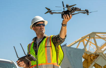
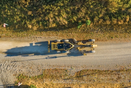
Construction Drone Services
Need a better view of your job site? The team at SITECH Horizon stays on top of the latest drone technology available—from software to hardware. Using our professional construction drone services, you'll benefit from the industry's highest-quality drones and aerial photogrammetry technology. Once data capture is complete, a collection of points creates an accurate 3D model of the surface below to aid in measurements, analysis, and visualizations.
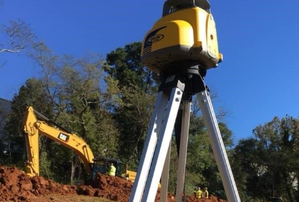
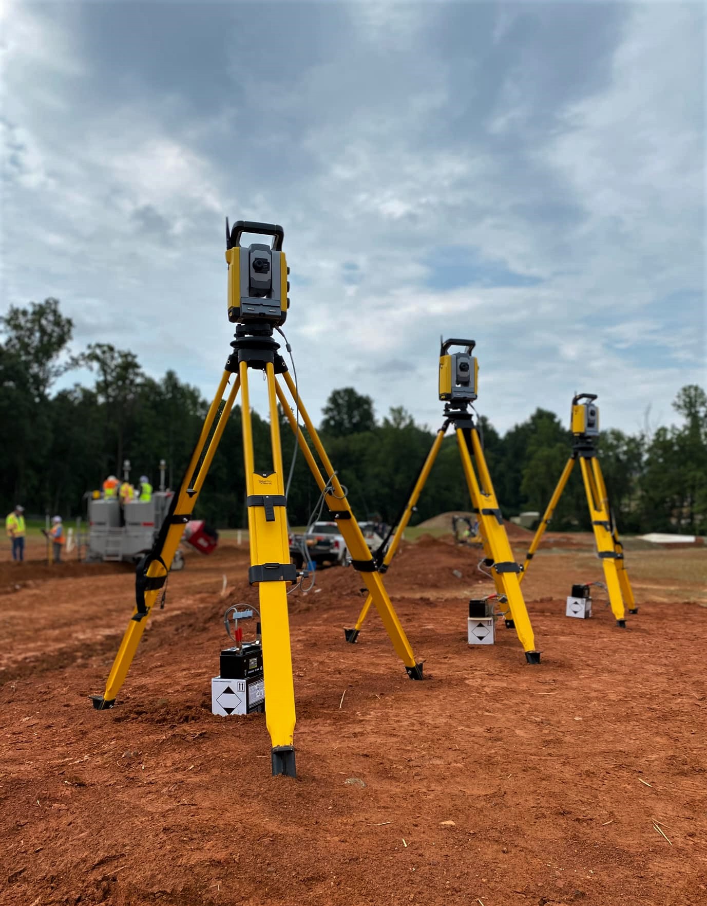
Pre-Construction Layout Services
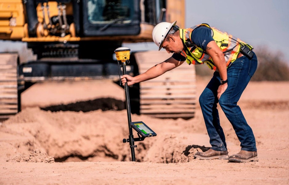
Readily available on request, SITECH Horizon can help you maximize construction site efficiency with GPS and land surveying services.
Our team of experts can transform your site data into reliable machine control models to optimize your site for maximum efficiency. This can help reduce costs and time spent during the bidding and construction phase so that you can complete projects faster. While utilizing our 3D models, you can:
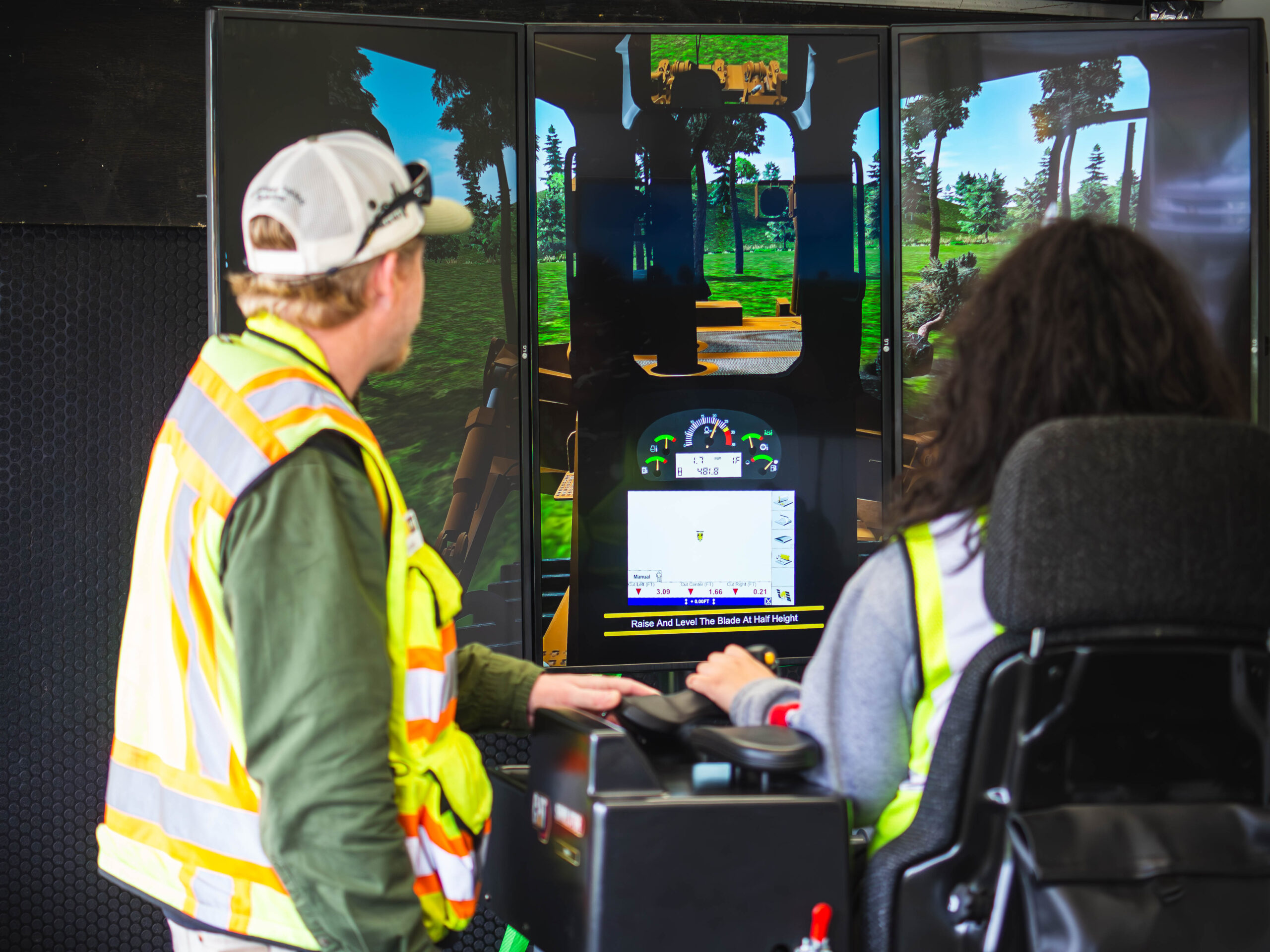
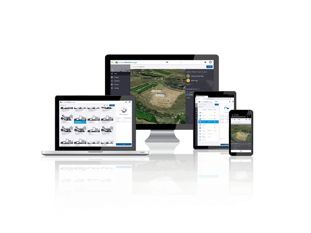
Support & Training
No matter if you rent or purchase from us, we want to make sure you get the most out of your construction technology.
The Professional Services team at SITECH Horizon wants to make sure you have the support and training you need to tackle any project, from construction layout and surveying, machine control applications to 3D modeling. We offer virtual and in-person product training, on-site or at our facility. Headquartered in Charlotte, NC, we’re here to help you learn how to use Trimble hardware and software.