Trimble Stratus Survey Drone
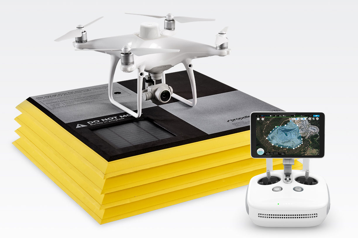
Trimble Stratus Survey Drone
Trimble drone surveying technology helps civil contractors use drones to map, measure, and share accurate information about their worksites and assets. Trimble Stratus includes Trimble Propeller Drones, which effortlessly map, measure, and manage in 3D. You will be able to process your flight data in 24 hours to visualize your site both realistically and geographically. With help from Trimble Stratus Propeller, you will be able to monitor your site over its lifetime in a virtually accessible 3D model.